A Geographic Information System (GIS) is a multi-faceted and essential component of engineering design and construction, as well as everyday life. GIS software is used in GPS tracking and routing applications, city planning, infographics, hydraulic modeling, property and inventory management, and marketing (to name a few). It’s an often-overlooked component of our world despite its many uses.
I started working with GIS in college, and decades later, I still love the work I do.
The Basics Of GIS
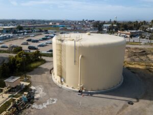
A Geographic Information System (GIS) combines the organization and functionality of a database (Excel, Access, etc.) with mapping tools that allow users to document, analyze, and present assets/features visually (PDF maps, desktop software, or online applications). For MKN and our clients, GIS connects existing infrastructure assets (water systems, collection system, etc.) to their actual geographic location in the world.
My History with GIS
I was first introduced to GIS when I was studying environmental engineering in college. I was taking test samples from a groundwater well near the campus and I thought it would be great to be able to visualize the results in some way.
That thought led to an internship with the Boston Water and Sewer Commission (BWSC) in their GIS department. At the time, the BWSC was just starting to develop GIS data for the existing water, wastewater, and stormwater systems they manage throughout the City of Boston. It was a great experience starting from the ground with GIS and being exposed to the world of municipal infrastructure.
My Favorite Projects
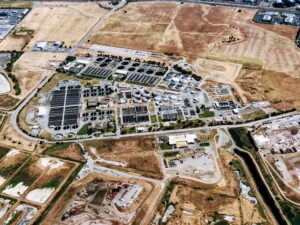
At MKN, we primarily use GIS in the development of comprehensive hydraulic models for agency master planning projects and/or hydraulic evaluations for water and wastewater systems. The benefits of using GIS for these projects are that we are able to provide clients with a fully functional GIS of their existing infrastructure and a corresponding hydraulic model that can be used to run numerous simulations on their system.
On every project, I am able to give our clients the results and models I envisioned when I was still in college. I feel fortunate to have chosen GIS and watched it grow into the multi-faceted and essential tool it is today.
Learn stories and information from around the world with the help of GIS software with GISDay.com.